Hartlepool Sports & Leisure
Hartlepool Transport
A Potted History Of Hartlepool
Hartlepool Trade & Industry
Hartlepool Health & Education
Hartlepool People
Hartlepool Places
Hartlepool at War
Hartlepool Ships & Shipping

Related items :
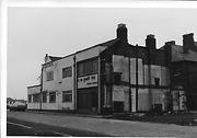
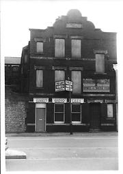
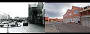
 Northerns Cinema
 Created by Bill Boagey
Donated by Hartlepool Museum Service
Created by Bill Boagey
Donated by Hartlepool Museum ServicePart of the Bill Boagey collection

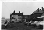
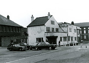
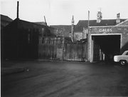
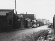
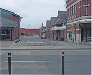
Villiers Street
 Created by Bill Boagey
Donated by Hartlepool Museum Service
Created by Bill Boagey
Donated by Hartlepool Museum ServicePart of the Bill Boagey collection
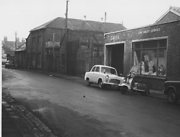
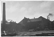
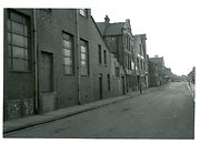
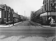
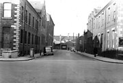
Villiers Street from the corner of Ouston Street
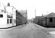 Created by West Hartlepool Council
Part of the Hartlepool Library collection
Created by West Hartlepool Council
Part of the Hartlepool Library collectionDated 1956
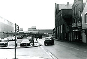
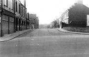
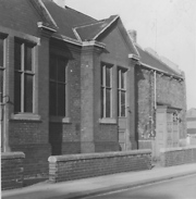
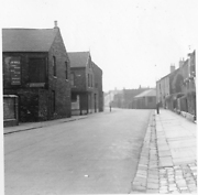
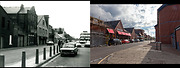
Villiers Street looking east from York Road
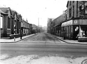 Created by West Hartlepool Council
Part of the Library collection
Created by West Hartlepool Council
Part of the Library collectionDated 1956
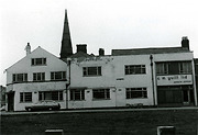
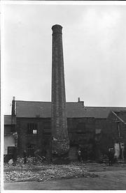
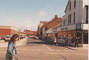
Waldon Street (1)
 Created by West Hartlepool Council
Part of the Hartlepool Library Collection collection
Created by West Hartlepool Council
Part of the Hartlepool Library Collection collectionDated 1956